
VIMS Tidewatch Interactive Map
Tidewatch (VIMS): Interactive maps and data viewers, useful for advanced students studying climate change and sea level rise in VA
Tidewatch (VIMS): Interactive maps and data viewers, useful for advanced students studying climate change and sea level rise in VA
Sea Level Rise (VIMS): Interactive maps and data viewers, useful for advanced students studying climate change and sea level rise in VA
Series of classroom investigative guides and interactive maps using ArcGIS called ‘What is in Our Water(Shed)’, on Water Quality, which involves analyzing data, creating graphs, analyzing results and coming to
Interactive Map of Coastal Resilience and Floodplains. View different data layers on open space preservation, flood zones, sea grasses, mangroves, oysters, risk based on income and vulnerability, and storm surges.
Article and data about the Hampton Roads Resilience Projects Dashboard: The Resilience project discusses sea level rise and flooding in the Hampton Roads Area
Search in the database from the Smithsonian Environmental Research Center to add real world data to your classroom setting. Data sets include research & citizen science data, climate science, wetlands,
Look at aerial images of chlorophyll, temperature, salinity, and primary productivity levels from the Chesapeake Bay remote Sensing Program based on year and location in the Bay.

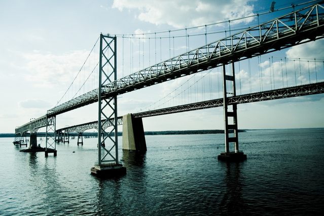
Access NOAA’s real time data from different points in the Chesapeake Bay as well as historic information back to the time of John Smith.

Includes SOL aligned Data Driven Lesson Plans, Climate Data Resources, Historical Data Resources, Ocean & Freshwater Data Resources, and Weather & Atmospheric Data Resources. The data collection consists of ocean
Enjoy NOAA’s interactive maps and local data! Explore modeled sea level rise data and scenarios through an Interactive Map with local scenarios and multiple data layers.