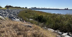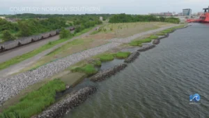


A new Virginia mapping tool could help connect dredged sediment with wetland restoration projects as Hampton Roads faces rising seas and shoreline erosion.
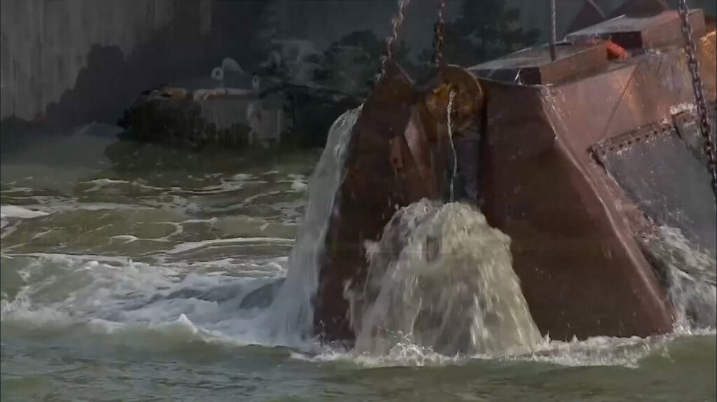
Hampton Roads depends on dredging to keep its waterways open for ships, boats, and commerce. However, once that sediment is removed, communities face another question: What should be done with it?
Click here to Read the Full Article